Be’eri Singletrack – the Red Route


This information is a recommendation only. Please ride carefully and responsibly. Some routes are for mixed-use of vehicles and cyclists. Riders must adhere to all traffic rules and pay attention to the signage.
Difficulty level: requires high riding proficiency. This singletrack is only for experienced, fit riders. The trail goes through several long technical passages and obstacle courses in the forest.
Route length: 24 km
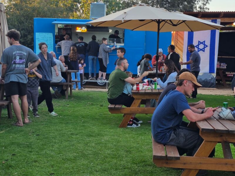
Start and end point: Be’eri
Summary of the trip area: Passes close to the Bitronot Be’eri nature reserve, old Be’eri – Nakhbir, the Sulfur Mines, HaBsor Stream and Gerar Stream and back to LaMedavesh. The trail’s northern part has another 6 km singletrack loop through the Be’eri Forest.
Summary of the route: The path is marked with a red bicycle marking on the signs. The trail starts at the entrance of Kibbutz Be’eri, along the fence and down a narrow wadi (stream) to a junction in the hidden valley and then up the wadi towards Nakhbir. Further along the route, we will climb to the observation point of the triangulation point in the Sulfur Mines, passing a round British well – remnants from the British Mandate. The path continues until the confluence of the streams with the Gerar stream. Then, we will ascend to a sparse and sandy eucalyptus forest and turn left toward the Saqiyah well on the water facilities road that stretches from the Re’im campsite. Finally, we will return north to the access road between Nakhbir and Be’eri.
Photography Credit: Yoav Lavi
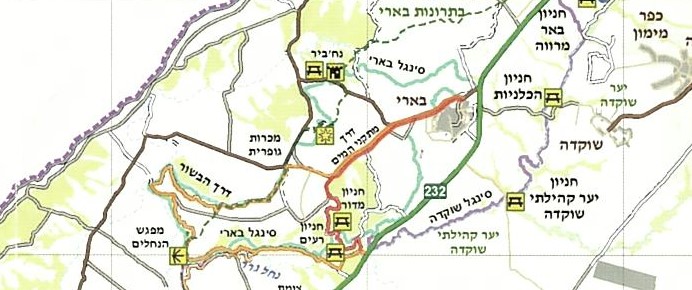
Map:
*The information is taken from the Lamedavesh and Mountain Bike Trails of the KKL-JNF websites